%20(6).png)
Note: Read Part One Here
Satavahana Land System
Land Ownership
The question of land ownership in ancient India remains a debated subject among historians. Scholars have presented different views regarding the nature and forms of land ownership. Based on inscriptions from the Satavahana dynasty period, three major types of land ownership appear to have existed:
-
Royal ownership
-
Private or individual ownership
-
Joint ownership
The title “Dakshinapathapati” appears in the cave inscription of Naganika at Naneghat. This title indicates the king’s theoretical sovereignty over the land.
Land grant inscriptions from the Satavahana period suggest that the idea of ultimate royal ownership was not merely symbolic. It also existed in actual administrative practice. The inscriptions of Naganika at Naneghat, along with the buddhist cave inscriptions of Gautamiputra Satakarni and Vashishthiputra Shri Pulumavi at Nashik Caves and Karla Caves, record several royal land donations.
These inscriptions indicate that the king possessed important rights over land and its revenue. The recipients of these grants enjoyed the income generated from the donated land. However, they did not possess the authority to challenge the special rights of the state. The power to exchange, transfer, or reassign villages remained entirely with the king and the state administration.
References to such royal lands are also found in the Arthaśāstra. The Superintendent of Agriculture was responsible for bringing these lands under cultivation. This work was carried out through slaves, labourers, prisoners, and tenant cultivators, who worked in return for a fixed share of the produce.
Whenever a new region was conquered and incorporated into the kingdom, the royal lands of that territory became the property of the conquering state. For example, during the Shaka-Satavahana conflict, Gautamiputra Satakarni conquered the Nashik-Pune region from the Shakas and integrated it into the Satavahana Empire. An inscription mentions that a plot of land in a village of the Govardhana district, which had earlier been under the control of a Shaka governor, was later declared to be the personal property of the Satavahana king.
It appears that the king directly controlled large stretches of such land. He also possessed the authority to donate these lands to brāhmaṇas and buddhist monastic institutions for religious purposes.
An inscription from the buddhist caves at Nashik Caves records that Gautamiputra Satakarni donated a “royal field” (Rajakam Kheta) from a village to buddhist monks. The specific use of the term “royal field” suggests that other lands in the same village may have been under private ownership. Another inscription of the same ruler mentions the donation of 100 nivartanas of land from a royal village.
Many other lands were privately owned, similar in some ways to the later ryotwari system seen in Maharashtra. Texts such as the Arthaśāstra discuss individual rights over land and provide detailed rules regarding boundary disputes, land sales, and transfers. This indicates that the idea of private land ownership had become well established by this period.
At times, kings purchased land from private owners for religious donations. Evidence of this comes from the Nashik inscription of Ushavadata. He purchased land from the brāhmaṇa Ashvibhuti for 4,000 silver kārṣāpaṇas and later donated it to buddhist monks. Since the land was located near the boundary of Govardhana town, its value was considered high. The price of land also depended upon its fertility.
An inscription also mentions that Gautamiputra Satakarni exchanged 100 nivartanas of fertile land for 200 nivartanas of barren land in order to avoid injustice. This suggests the existence of administrative concern for fairness in land transactions.
References to private land donations by individuals are also found in inscriptions. A buddhist cave inscription at Nashik records that Dharmanandin, the son of the lay devotee Bodhigupta, donated a field in western Kanhahini for providing robes to monks. Inscriptions from Junnar show that small plots ranging from 2 to 26 nivartanas were under individual ownership.
The term “Gahapati” also appears in inscriptions and in the Gāthāsaptaśatī. In many cases, this term seems to refer to a landholder or wealthy householder.
Alongside royal and private ownership, there is also some evidence of joint ownership of land. An inscription from the Nashik region mentions that the “Nashikakas” donated a village. The term “Nashikakas” has been interpreted as “the people of Nashik.” Since the donation was made collectively, historians suggest that the village may have been under joint ownership.
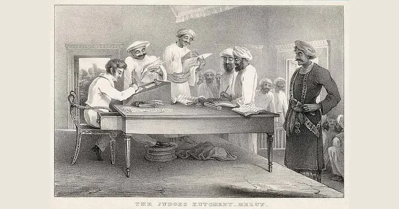
Land survey was an essential part of state administration. It helped the state determine agricultural revenue accurately and collect taxes in proper proportion. According to the Jataka stories and inscriptions from the Maurya and Satavahana periods, officials known as “Rajjuka” and “Rajjukakah-Amatya” worked as land surveyors. Their duty was to measure land carefully so that neither the state treasury nor the cultivators suffered any loss.
For accurate land measurement, village boundaries were fixed by the state with the help of natural and artificial markers. According to the Arthaśāstra, rivers, mountains, elevated hills, forests, caves, and constructed structures were commonly used as boundary markers for villages.
A buddhist cave inscription from Junnar mentions the “Manamukada” mountain as the western boundary of a donated field. Another buddhist cave inscription at Nashik Caves records that the village of “Pisajipadaka,” donated by Vashishthiputra Shri Pulumavi, was situated to the southwest of Trirashmi Caves. A second inscription of the same ruler states that the village of “Sudisana” was located to the south of Govardhana.
The inscriptions of Ushavadata show that the boundaries of donated villages were often marked by riverbanks. The buddhist cave inscription at Mahad suggests that cultivable land was located below the caves.
In this way, mountains, rivers, caves, and other geographical features were used to identify the location and boundaries of villages and agricultural fields. In some cases, inscriptions specifically mention that a field was situated near or within the limits of a town. For example, a buddhist cave inscription from Junnar states that the donated field was located within the town boundary.
An inscription from Nashik records that Gautamiputra Satakarni donated a piece of land from a royal village situated on the boundary of the Govardhana district.
Land Measurement
Land was carefully measured and its details were recorded in inscriptions. Royal surveyors used different methods of measurement to ensure accuracy. Satavahana land grant inscriptions frequently mention the unit “Nivartana” as a measure of land. One nivartana is generally considered equal to about one and a half acres.
The term “Hala” also appears in Satavahana inscriptions. Although its original meaning was “plough,” it may also have been used as a unit of land measurement.
Land Grants
References to land grants made to priests are found in later Vedic literature. However, the earliest epigraphic evidence of land grants in India comes from the first century BCE inscription of Queen Nayanika at Naneghat. This inscription records that Shri Satakarni donated a village as dakshina to the priests who performed the Aśvamedha sacrifice. This is perhaps the only clear example of large-scale royal patronage given to brāhmaṇas during the Satavahana period.
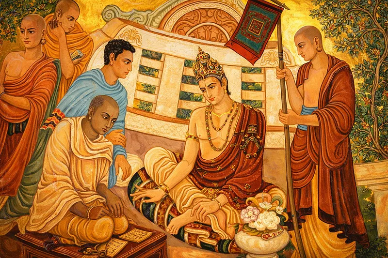
Most land grants made by the Satavahana dynasty rulers were given to buddhist monastic institutions. The buddhist cave inscriptions at Nashik Caves and Karla Caves mention grants made by Gautamiputra Satakarni, Vashishthiputra Shri Pulumavi, and Yajna Satakarni to buddhist sanghas.
These grants were not given only for religious merit. They also played an important role in expanding cultivation. One Nashik inscription of Gautamiputra Satakarni states that the land previously donated in the village of “Kakhadi” had become barren and uninhabited. Therefore, 100 nivartanas of royal land situated near the town boundary were granted again in its place.
Through such land grants, the Satavahanas attempted to expand agriculture by bringing new lands under cultivation and encouraging settlement. As a result, many new rural settlements emerged in fertile regions, especially around Nashik, Junnar, and Karle.
These new settlements supported the ports of the western coast by supplying agricultural produce and economic resources. During the early centuries of the Common Era, India’s trade with the Mediterranean world depended heavily on these western coastal ports.
The practice of donating villages to buddhist monasteries and brāhmaṇas should be understood in the context of the rapidly expanding rural economy of the period. The state needed to establish new settlements and ensure their growth. buddhist monasteries, in particular, were well suited for this task because they were capable of creating strong networks of communication and social contact.
These networks helped the state achieve two important objectives:
-
The spread of improved agricultural techniques and new cropping patterns.
-
The strengthening of state control over newly settled regions.
It appears that the Satavahana rulers granted villages to buddhist sanghas partly to maintain administrative supervision and political control over these expanding rural areas.
Along with the donation of land and villages, the recipients were also granted several economic and administrative privileges. Such concessions are mentioned in many inscriptions. For example, a buddhist cave inscription of Vashishthiputra Shri Pulumavi at Nashik Caves states that the village of “Samalipada” was granted to monks free from taxes.
The grant included several important privileges:
• Royal officials were prohibited from entering the village.
• No interference was allowed in the lands of the village.
• Digging for salt extraction was forbidden.
• District police authorities were not allowed to interfere.
• The monks received protection and exemption from various taxes.
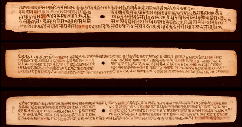
The state maintained detailed records of all land grants. Record offices functioned under officials such as the Amatya, Senapati, or Mahasenapati. Permanent written records were prepared on the basis of the oral orders issued by the king or queen. This helped the state maintain accurate information regarding land revenue and administration. One inscription also refers to an official responsible for maintaining records and archives.
Land Revenue
Revenue obtained from lands cultivated and used by private individuals formed the main economic base of the Satavahana dynasty. Therefore, land assessment was carried out with great care.
In practice, the Satavahanas appear to have followed the principle found in the Arthaśāstra that taxation should be moderate in assessment but strict in collection.
Gautamiputra Satakarni is described as “Dharmojita Kara-Viniyoga-Karasa,” which suggests that he never imposed unlawful taxes upon the people.
The king’s share of revenue was expressed through terms such as “Deya” and “Meya.” “Bhoga” referred to regular dues or offerings, while “Bhaga” denoted the king’s share in agricultural produce.
The rate of land revenue varied according to the fertility of the soil. Ancient legal and administrative traditions suggest that it could range from one-sixth to one-tenth of the produce. In actual practice, the Mauryan tax burden appears to have been heavier, possibly reaching one-fourth of the produce in some regions.
Compared to the Mauryas, the Satavahana tax structure appears to have been relatively lighter. At the same time, although the Satavahanas made extensive land grants, they maintained strict control over revenue collection.